The Dictionary of Sydney was archived in 2021.
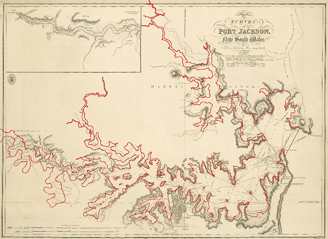
Comparison of the modern mean high water mark of Sydney Harbour shoreline with Roe's 1822 'Survey of Port Jackson', 2013

Contributed By
(Geographic Information System (GIS) created by Phil Mulhearn 2013.) (Modern Sydney Harbour mean high water mark outline, courtesy of Port Authority of NSW 2013) (Survey of Port Jackson New South Wales by John Septimus Roe in Phillip Parker King, charts of the coast of Australia, National Library of Australia, 1824-1826, National Library of Australia, MAP RaA 5, part 9 http://nla.gov.au/nla.map-raa5-s9)

