1. The Dictionary of Sydney
  2. Multimedia
  3. Plan of the eastern side of Sydney Cove, betwee...

Plan of the eastern side of Sydney Cove, between 1856-1862
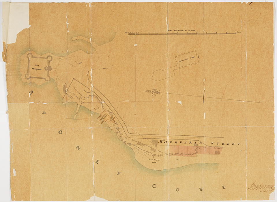
By
Alexander Dawson
From the collections of the
State Library of New South Wales
[Cb 85/30]
(Dixson Map Collection)

Browse

  • Browse
    • Artefacts
    • Buildings
    • Events
    • Natural Features
    • Organisations
    • People
    • Places
    • Structures
    • Entries
    • Multimedia
    • Subjects
    • Roles
    • Contributors
Connections
Appears in
East Circular Quay
Subjects
Maps
Buildings
Fort Macquarie Government House
Places
East Circular Quay Macquarie Street

Footer

  • Home
  • About
  • Copyright
  • Contact

Footer Secondary

  • Contribute
  • Donate

Dawson, Alexander

State Library of New South Wales

East Circular Quay

The area that is now East Circular Quay was quickly seen as the governor's side of Sydney Cove after colonisation in 1788. The first house built on the point belonged to Bennelong. When the semi-circular quay was constructed from 1837, the eastern side of the bay was used as a quarry. From the 1860s, wool stores and warehouses were built that dominated the landscape until after World War II, when taller buildings were allowed.

Maps

Government House

full record »

Governor's residence commissioned by Governor Bourke and constructed of local sandstone between 1836 and 1843 in the Gothic Revival style.

Fort Macquarie

full record »

Square castellated fort built on Bennelong Point, incorporating some of the guns taken from HMS Supply.

East Circular Quay

full record »

Area on the eastern shore of Sydney Cove to Bennelong Point.

Macquarie Street

Street at the eastern edge of Sydney's central business district, designed as a ceremonial thoroughfare by Lachlan Macquarie and containing many of Sydney's public buildings. It was later the best address in the colony, and became a prestigious medical precinct in the twentieth century.

full record »