The Dictionary of Sydney was archived in 2021.
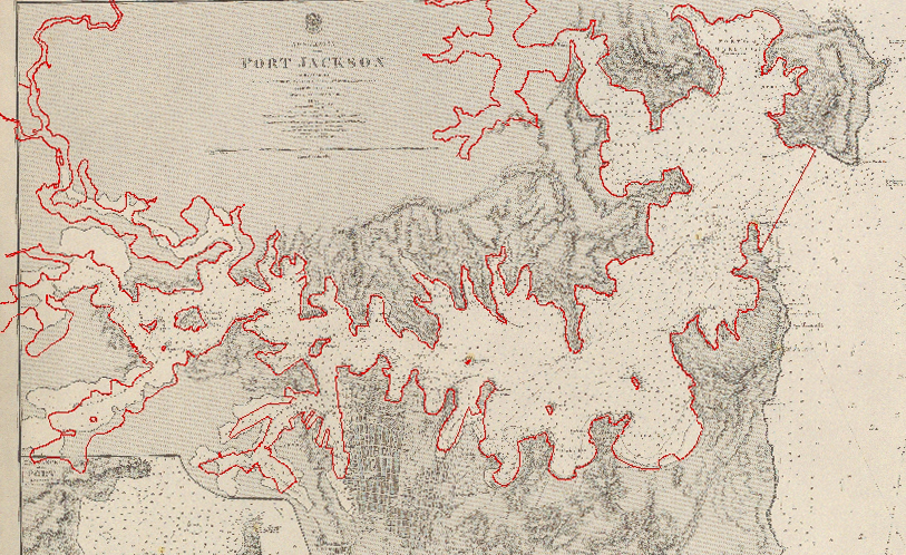
Comparison of chart 'Australia, Port Jackson' 1857 with modern mean high water mark, superimposed in red 2013

Contributed By
(Geographic Information System (GIS) created by Phil Mulhearn 2013.) (Modern Sydney Harbour mean high water mark outline, courtesy of Port Authority of NSW 2013) ('Australia, Port Jackson' 1857... under the direction of Captain HM Denham, Great Britain. Hydrographic Dept, London 1859, National Library of Australia, MAP British Admiralty Special Map Col./33 http://nla.gov.au/nla.map-rm2813)

