1. The Dictionary of Sydney
  2. Multimedia
  3. Plan of Mrs Darling's Point divided into villa ...

Plan of Mrs Darling's Point divided into villa allotments for sale 15 June 1833
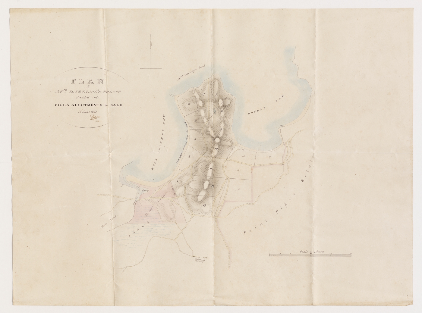
By
Thomas Livingstone Mitchell
From the collections of the
State Library of New South Wales
[a4692001 / Ca 83/16]
(Dixson Library)

Browse

  • Browse
    • Artefacts
    • Buildings
    • Events
    • Natural Features
    • Organisations
    • People
    • Places
    • Structures
    • Entries
    • Multimedia
    • Subjects
    • Roles
    • Contributors
Connections
Appears in
Darling Point
Subjects
Maps Real Estate Subdivisions
Places
Darling Point
Natural features
Rushcutters Bay

Footer

  • Home
  • About
  • Copyright
  • Contact

Footer Secondary

  • Contribute
  • Donate

Mitchell, Thomas Livingstone

State Library of New South Wales

Darling Point

Darling Point, a suburb on the eastern side of Sydney Harbour, was part of the larger territory of the Cadigal clan of the Eora people. With the arrival of road access in the 1830s it was named Mrs Darling's Point, after Eliza Darling, wife of then governor of NSW, Ralph Darling. It has rich history and contains many substantial heritage properties.

Real Estate

Subdivisions

Maps

Darling Point

full record »

Wealthy harbourside suburb named for Elizabeth Darling, the wife of New South Wales Governor Ralph Darling. It is the site of Carthona, heritage-listed home of Surveyor-General Thomas Mitchell.

Rushcutters Bay

Bay about two kilometres east of Sydney Cove so named because convicts cut rushes there for thatching. Now noted as the site of a major harbour marina.

full record »