  1. The Dictionary of Sydney
  2. Multimedia
  3. View above the Wetherbord fall, blau Montans (W...

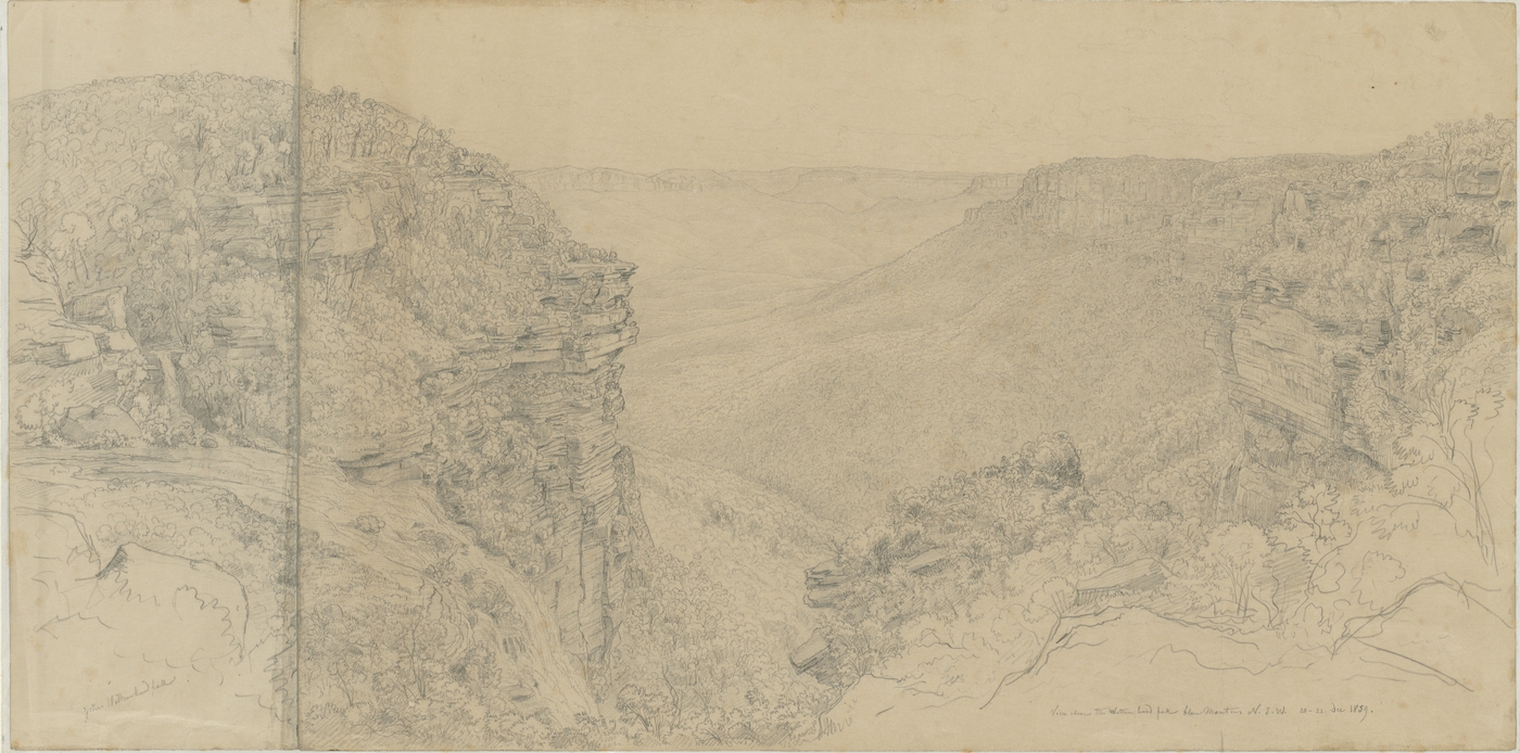
View above the Wetherbord fall, blau Montans (Weatherboard Falls, Blue Mountains) NSW 20-22 December 1859

By
Eugene Von Guerard
From the collections of the
State Library of New South Wales
[a4451001 / DG V1B / 9]
(Dixson Galleries)

Browse

  • Browse
    • Artefacts
    • Buildings
    • Events
    • Natural Features
    • Organisations
    • People
    • Places
    • Structures
    • Entries
    • Multimedia
    • Subjects
    • Roles
    • Contributors
Connections
Appears in
Darwin's Walk, Wentworth Falls
Natural features
Blue Mountains
Places
Wentworth Falls

Footer

  • Home
  • About
  • Copyright
  • Contact

Footer Secondary

  • Contribute
  • Donate

Von Guerard, Eugene

State Library of New South Wales

Darwin's Walk, Wentworth Falls

Darwin's Walk starts from Wilson Park Wentworth Falls and runs across a boardwalk and bush track through open forest, shrub, and hanging swamps to the national park boundary. It was in the valley at the end of Jamison Creek that Charles Darwin stood in 1836, struggling for words to describe the 'quite novel' scene before him, the 'immense gulf' and the 'absolutely vertical' sandstone cliffs where 'a person standing on the edge and throwing down a stone, can see it strike the trees in the abyss below'.

Blue Mountains

Part of the Great Dividing Range west of Sydney, reaching a height of 1100 metres. In 1829 the name for the area used by the local Aboriginal people was recorded as being Colomatta .

full record »

Wentworth Falls

Blue Mountains residential suburb. William Cox erected a "weatherboard hut" as a supply depot there in 1815 while building a road over the mountains.

full record »