1. The Dictionary of Sydney
  2. Multimedia
  3. View of the heads at the entrance to Port Jacks...

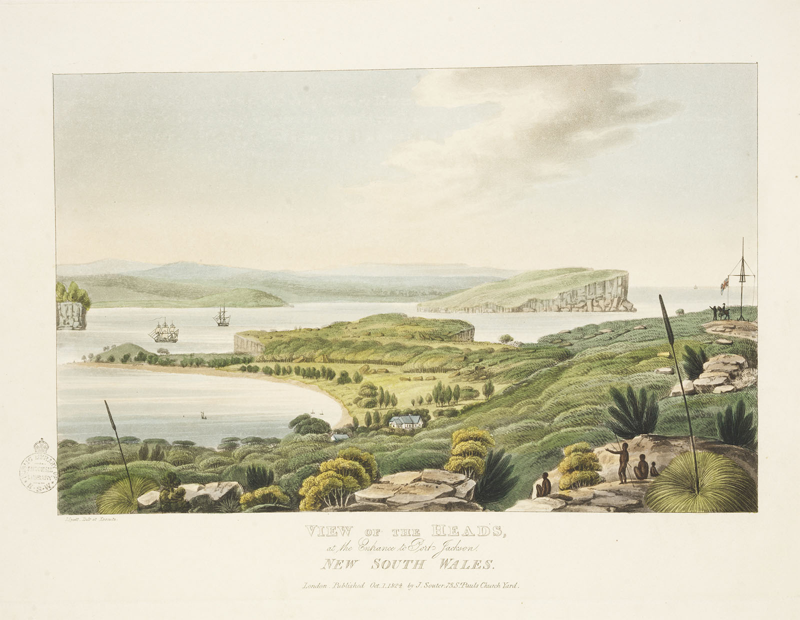
View of the heads at the entrance to Port Jackson 1824
By
Joseph Lycett
Contributed By
National Library of Australia
[nla.pic-an7690873]

Browse

  • Browse
    • Artefacts
    • Buildings
    • Events
    • Natural Features
    • Organisations
    • People
    • Places
    • Structures
    • Entries
    • Multimedia
    • Subjects
    • Roles
    • Contributors
Connections
Appears in
The road east
Buildings
South Head Signal Station
Places
Inner South Head Watsons Bay
Natural features
North Head South Head Sydney Harbour

Footer

  • Home
  • About
  • Copyright
  • Contact

Footer Secondary

  • Contribute
  • Donate

Lycett, Joseph

National Library of Australia

The road east

The first track east to South Head followed the path Aboriginal people had travelled for thousands of years, but soon became a cleared road and later a paved street.

South Head Signal Station

Signal station established for shipping since 1797, and now used for small and recreational boating. Since 1790 the position had been a simple lookout post and flagpole.

full record »

Inner South Head

Sandstone headland at the entrance to Port Jackson.

full record »

Sydney Harbour

full record »

The largest arm of Port Jackson, which extends west from the Heads past Balmain and meets the estuaries of the Lane Cove and Parramatta rivers.

North Head

Sandstone headland on the northern edge of Sydney Harbour.

full record »

South Head

full record »

Southern headland marking the entrance to Port Jackson which, since colonial times, has been an important location for civil and military maritime activities, and is now part of Sydney Harbour National Park.

Watsons Bay

Suburb on the outermost shore of the southern side of Sydney harbour which, since colonial times, has been an important naval and civil maritime precinct, as well as a destination for Sydneysiders and tourists.

full record »