1. The Dictionary of Sydney
  2. Multimedia
  3. View in Broken Bay New South Wales. March 1788
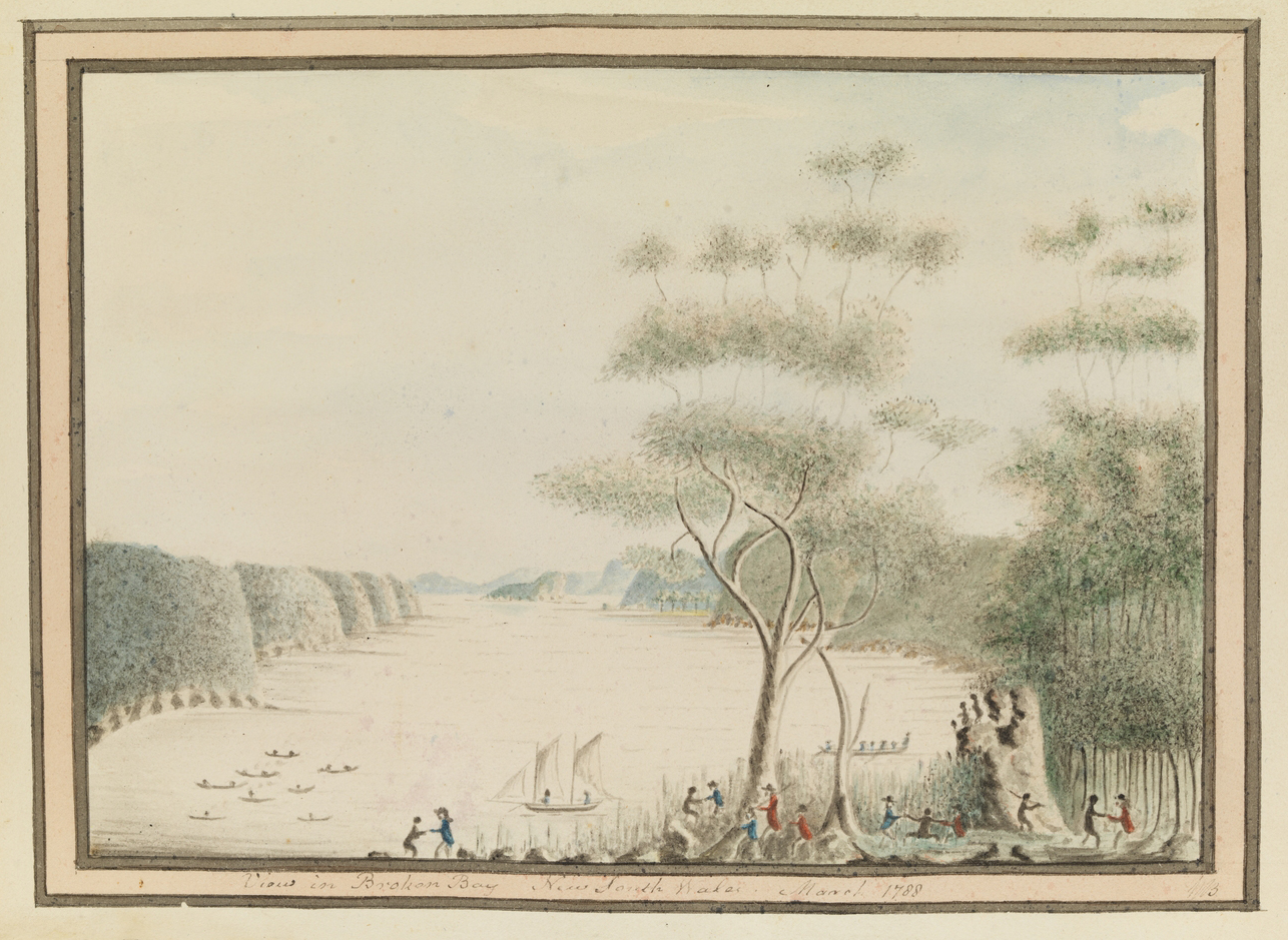
View in Broken Bay New South Wales. March 1788

By
William Bradley
From the collections of the
State Library of New South Wales
[a3461013 / Safe 1/14, Opp p90 ]
(from: William Bradley - Drawings from his journal `A Voyage to New South Wales', 1802+, Mitchell Library)

Browse

  • Browse
    • Artefacts
    • Buildings
    • Events
    • Natural Features
    • Organisations
    • People
    • Places
    • Structures
    • Entries
    • Multimedia
    • Subjects
    • Roles
    • Contributors
Connections
Appears in
Hawkesbury River
Subjects
Aboriginal Armed forces
Artefacts
First Fleet
Natural features
Broken Bay Hawkesbury River (Dyarubbin)

Footer

  • Home
  • About
  • Copyright
  • Contact

Footer Secondary

  • Contribute
  • Donate

Bradley, William

First lieutenant on HMS Sirius, who kept a detailed journal during the early years of settlement.

State Library of New South Wales

Hawkesbury River

The Hawkesbury River, or Dyarubbin, in Sydney's north and west, was an important transport route for Aboriginal people and colonists. Its use changed as first ferry, then road and rail bridges opened up land to the north and west.

Aboriginal

Armed forces

First Fleet

Fleet of eleven ships which left England in 1787 to found a penal colony in Australia. It consisted of two Royal Navy Vessels, three store ships and six convict transports which carried over 1000 convicts, marines and seamen to the colony.

full record »

Broken Bay

Large inlet of the Pacific Ocean located about 50 kilometres north of Port Jackson.

full record »

Hawkesbury River (Dyarubbin)

full record »

River that runs for 120 kilometres from the confluence of the Nepean and Grose rivers west of Sydney to Broken Bay north of Sydney. The Darug and Darkinjung people who lived along the river called it Dyarubbin.