
The Dictionary of Sydney was archived in 2021.
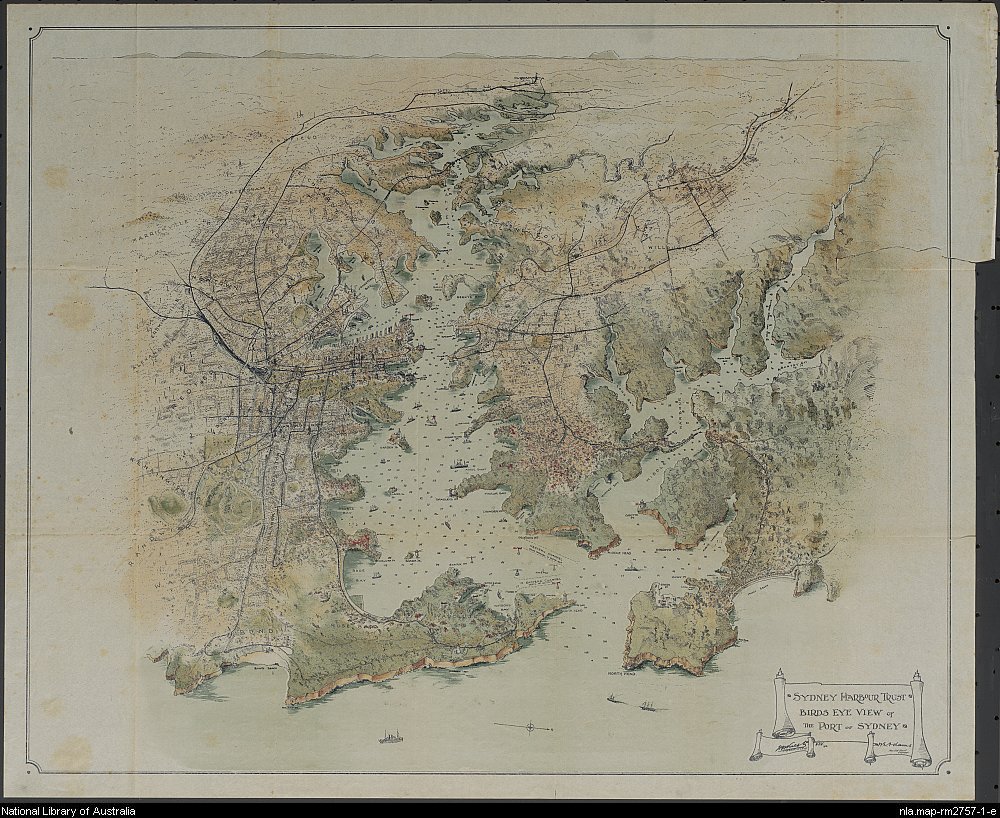
Birds eye view of the Port of Sydney 1913
Contributed By
(Sydney : Published by the Sydney Harbour Trust Commissioners, 1913, In: The Port of Sydney, N.S.W. : official handbook. Sydney : Sydney Harbour Trust Commissioners, 1913. Second edition.)