1. The Dictionary of Sydney
  2. Multimedia
  3. Traffic and line of telegraph poles approach th...

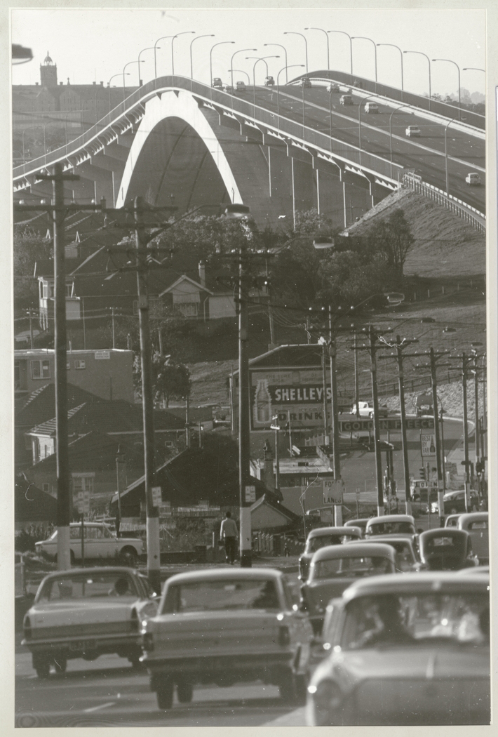
Traffic and line of telegraph poles approach the Gladesville Bridge, October 1966
From the collections of the
State Library of New South Wales
[a390003 / PXA 907 Box 22, 39]
(Mitchell Library)

Browse

  • Browse
    • Artefacts
    • Buildings
    • Events
    • Natural Features
    • Organisations
    • People
    • Places
    • Structures
    • Entries
    • Multimedia
    • Subjects
    • Roles
    • Contributors
Connections
Appears in
Gladesville
Subjects
Bridges Roads
Places
Gladesville
Structures
Gladesville bridge

Footer

  • Home
  • About
  • Copyright
  • Contact

Footer Secondary

  • Contribute
  • Donate

State Library of New South Wales

Gladesville

Established on traditional Wallumedegal land, Gladesville's farms and dairies supplied Sydney. Better transport and postwar housing demand later resulted in rapid expansion.

Bridges

Roads

Gladesville

Residential suburb located on the northern banks of the Parramatta River, named after ex-convict John Glade who had a farm in the area from about 1806. The original Gladesville Bridge, completed in 1881, was replaced in 1964.

full record »

Gladesville bridge

full record »

Concrete-arch bridge across the Parramatta River between Drummoyne and Huntleys Point. Until 1980, at 305 metres, it was the longest concrete arch span in the world and it was the first large bridge to be designed by computer.
It was designed by Tony Gee at Maunsell and Partners together with construction by Stuart Brothers jointly with Reed and Mallik of the UK, it was opened by HRH Princess Marina of Kent in 1964. In 2015 it was declared an International Historic Civil Engineering Landmark.